Tareky docs
Maps, search, routing and transit for Iraq, from our own data and servers, through one API.
Maps
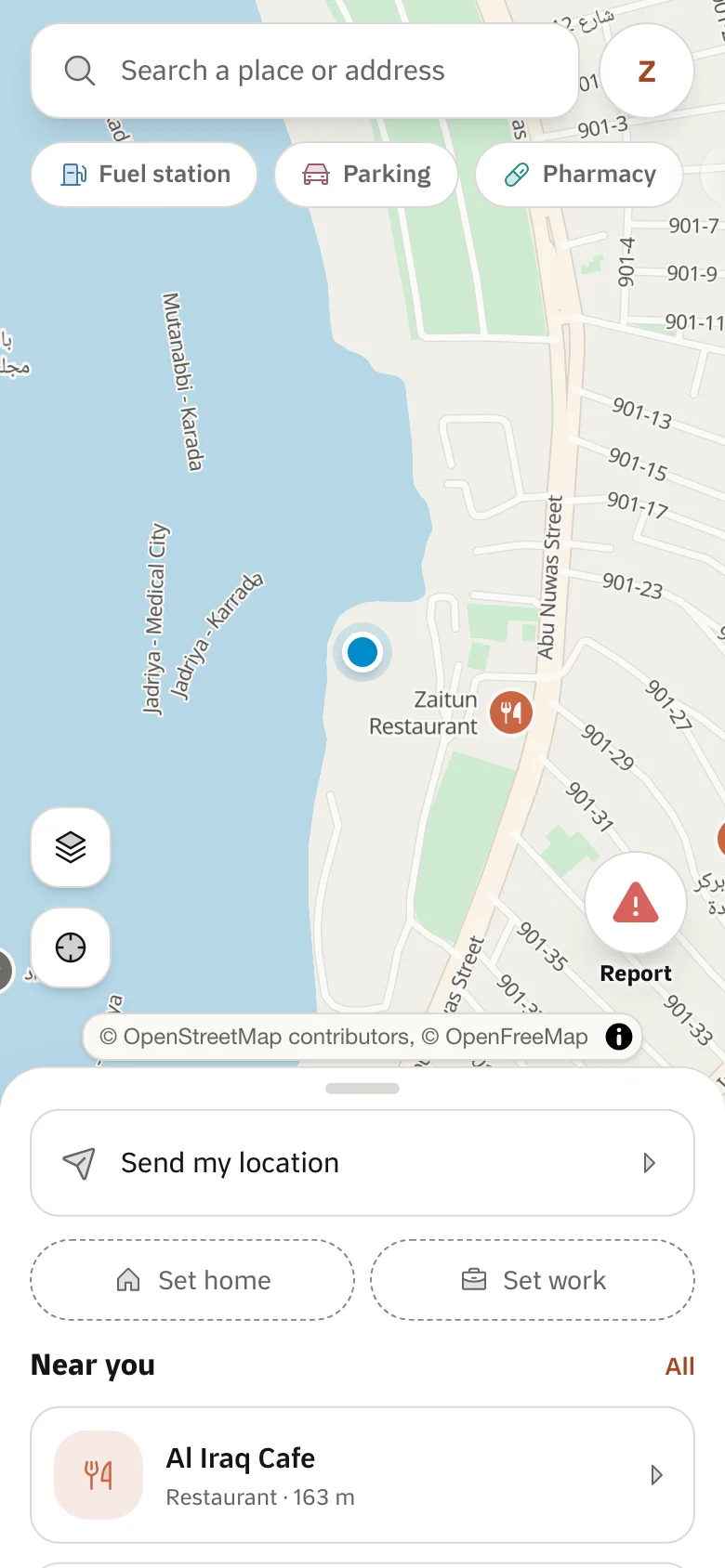
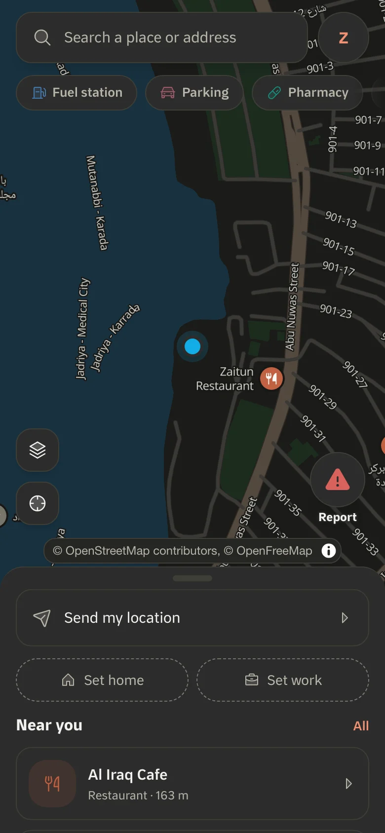
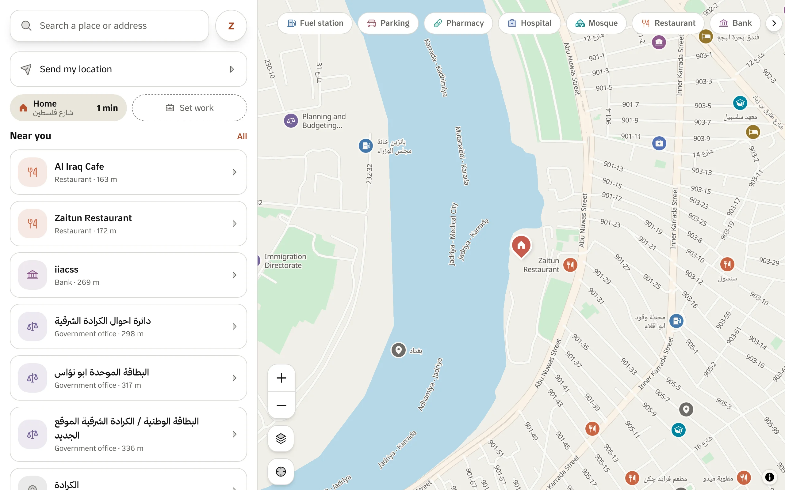
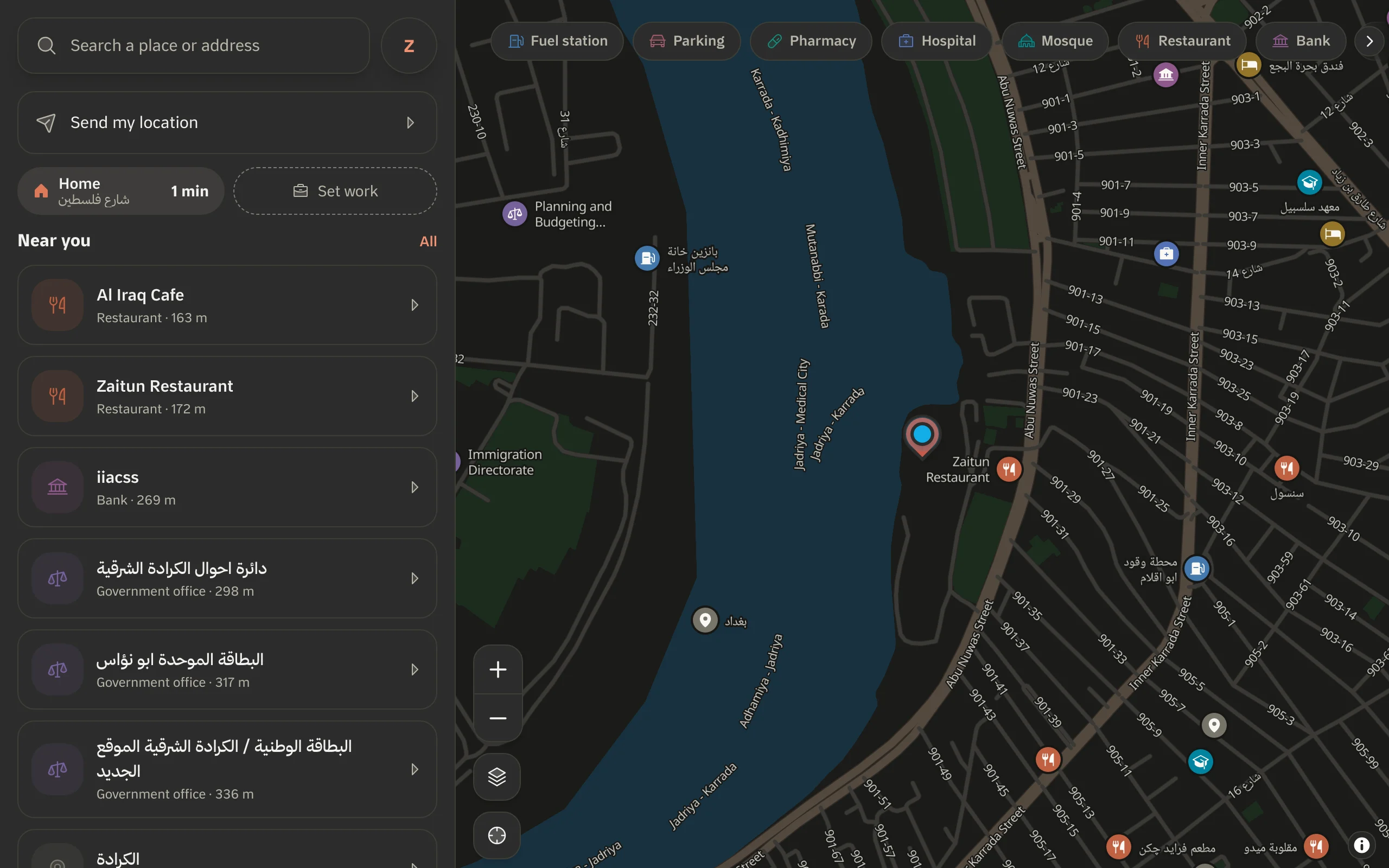
Arabic-first maps for websites and mobile apps.
Maps and tiles
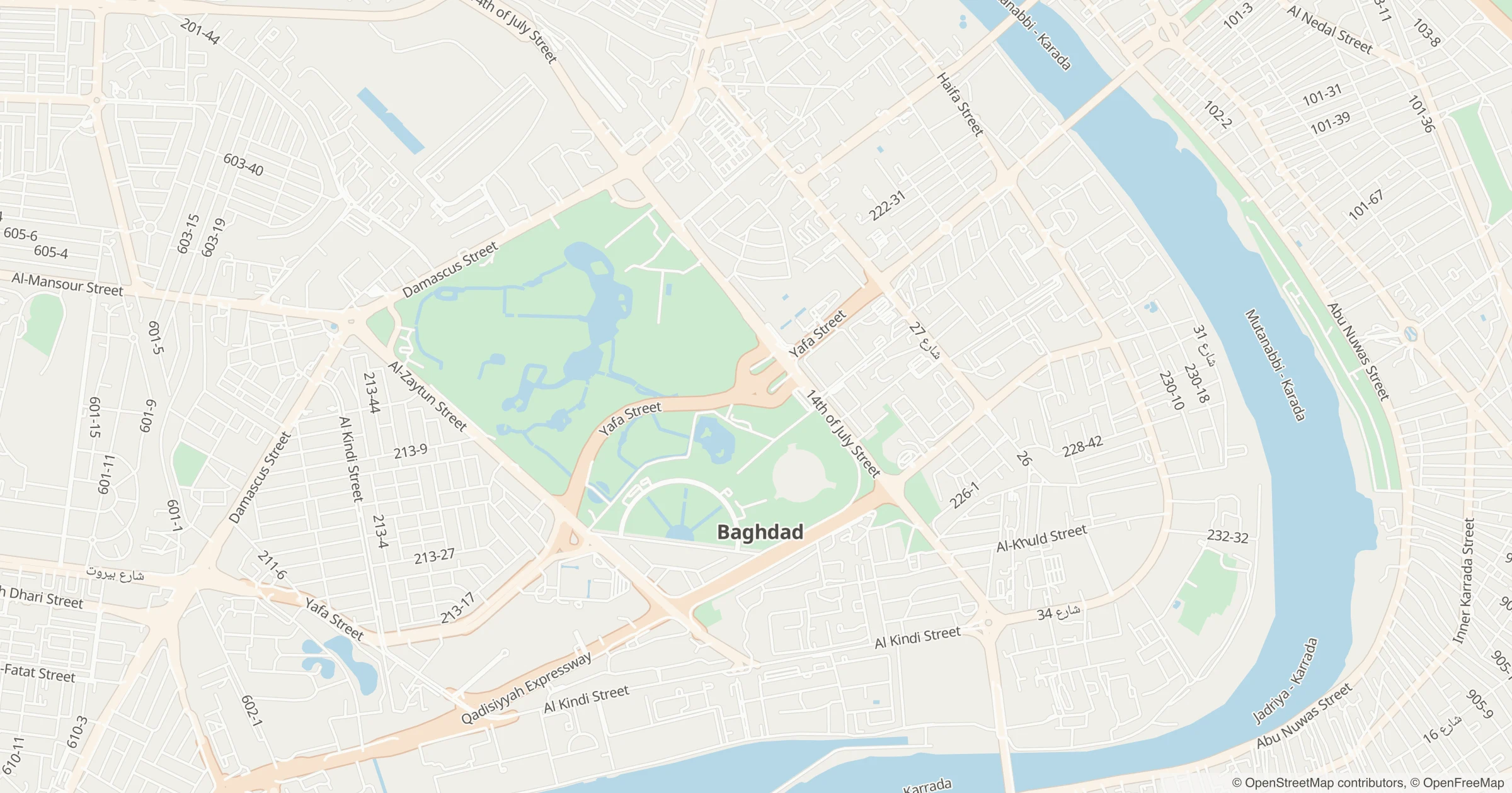
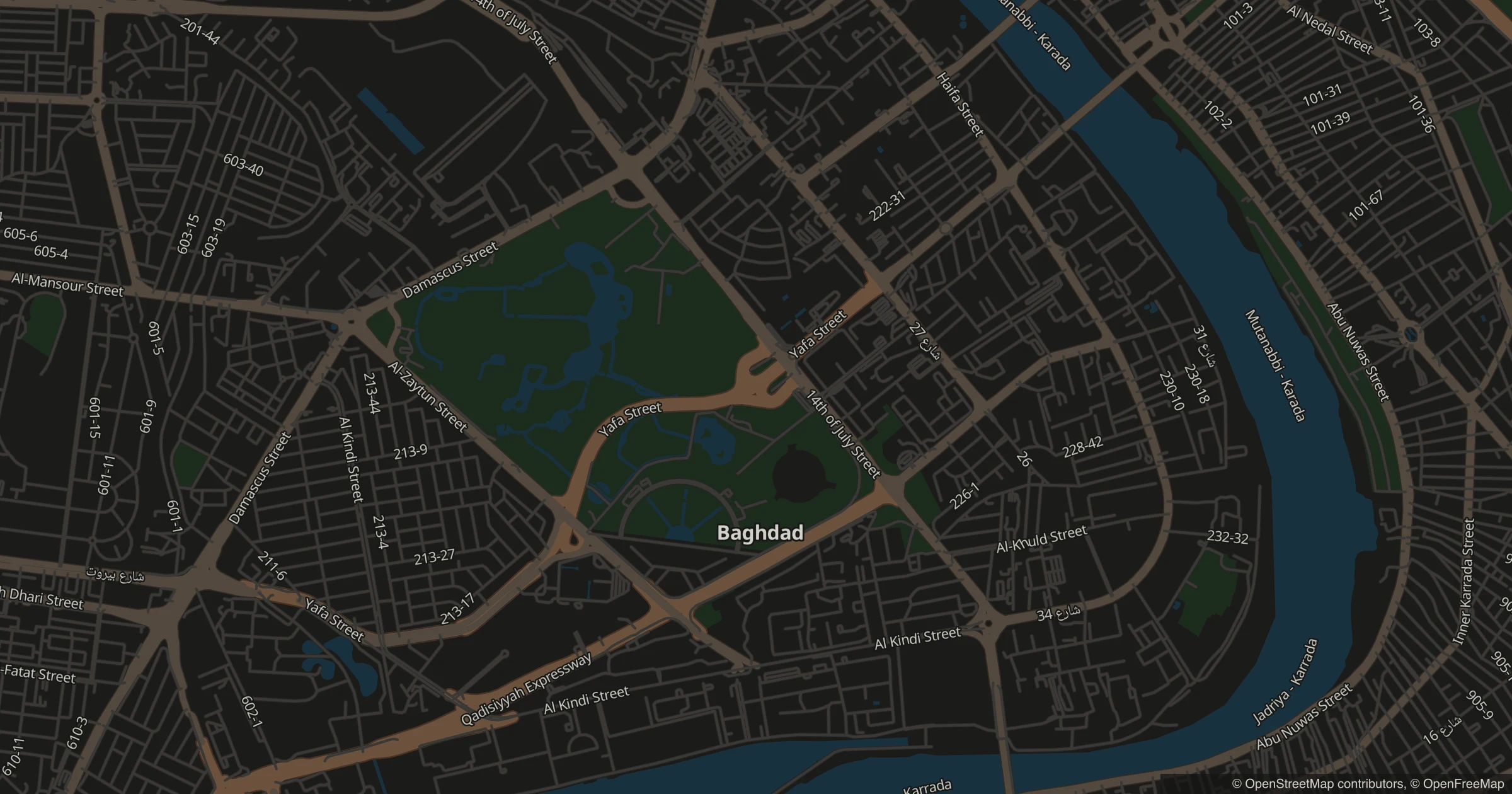
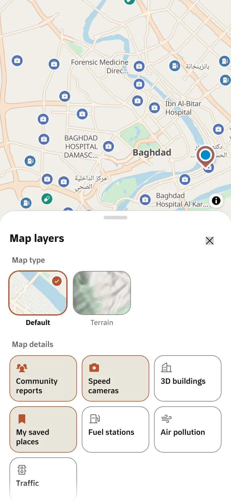
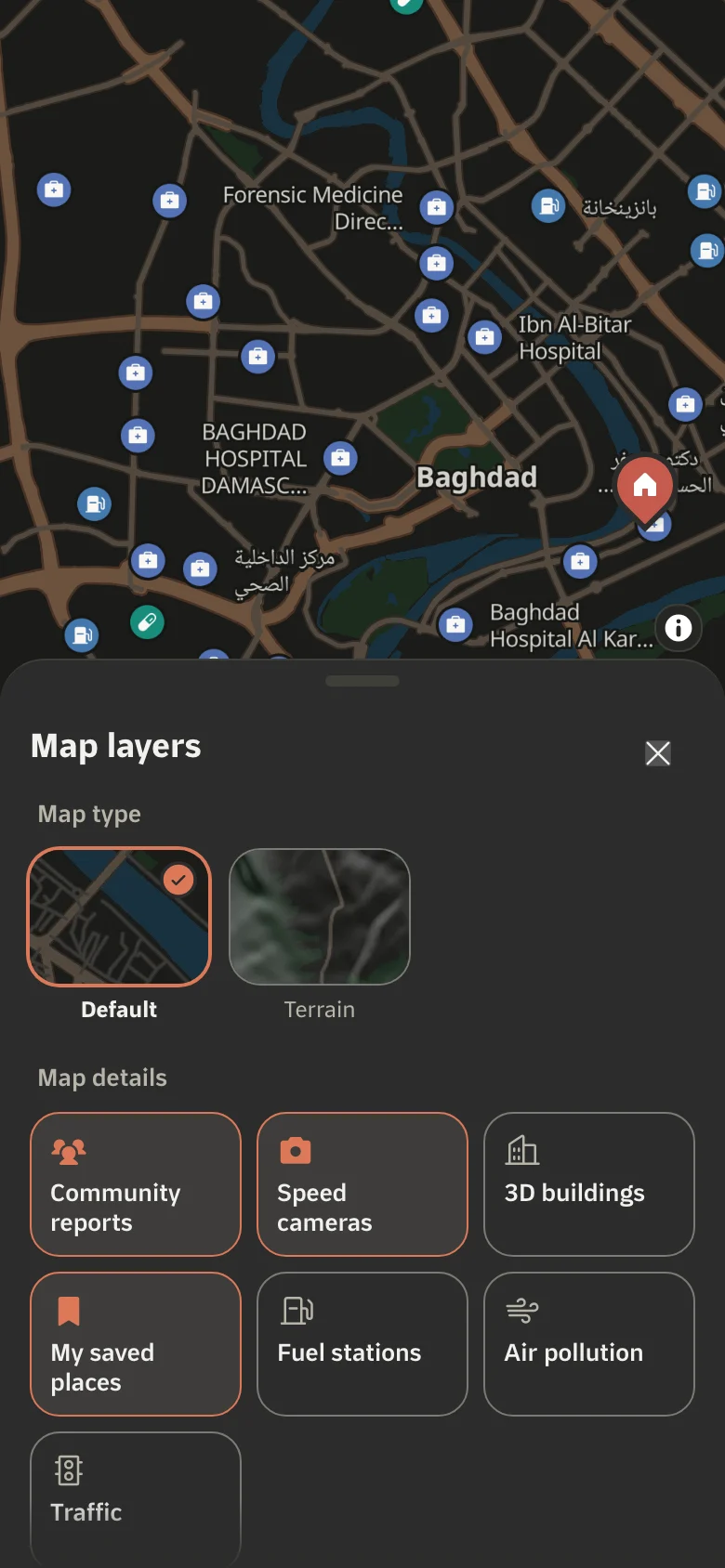
Ready MapLibre styles, static map images, and raster tiles for other libraries.
Styles
Your brand colours on our map, or a full MapLibre style of your own.
Search
Iraq's places, streets and areas.
Search and addresses
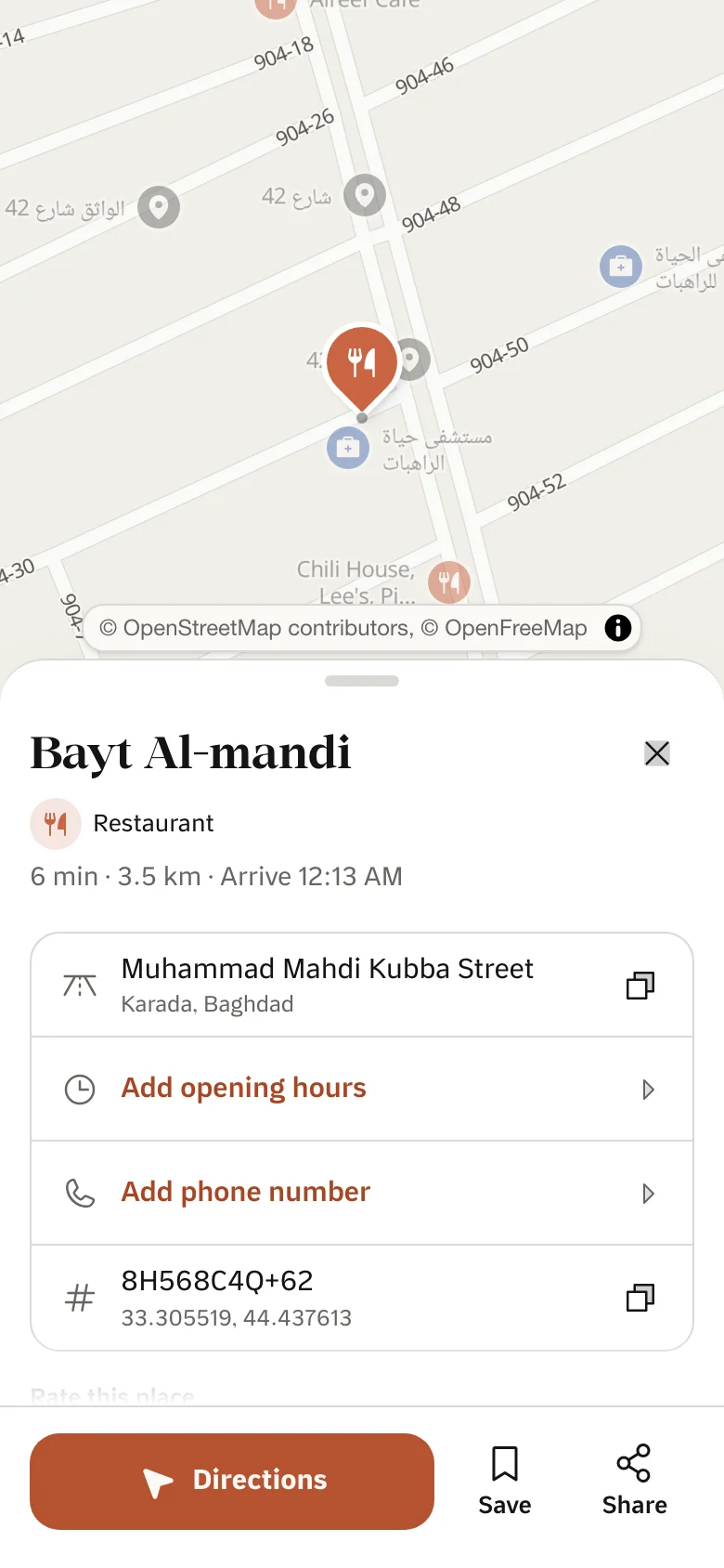
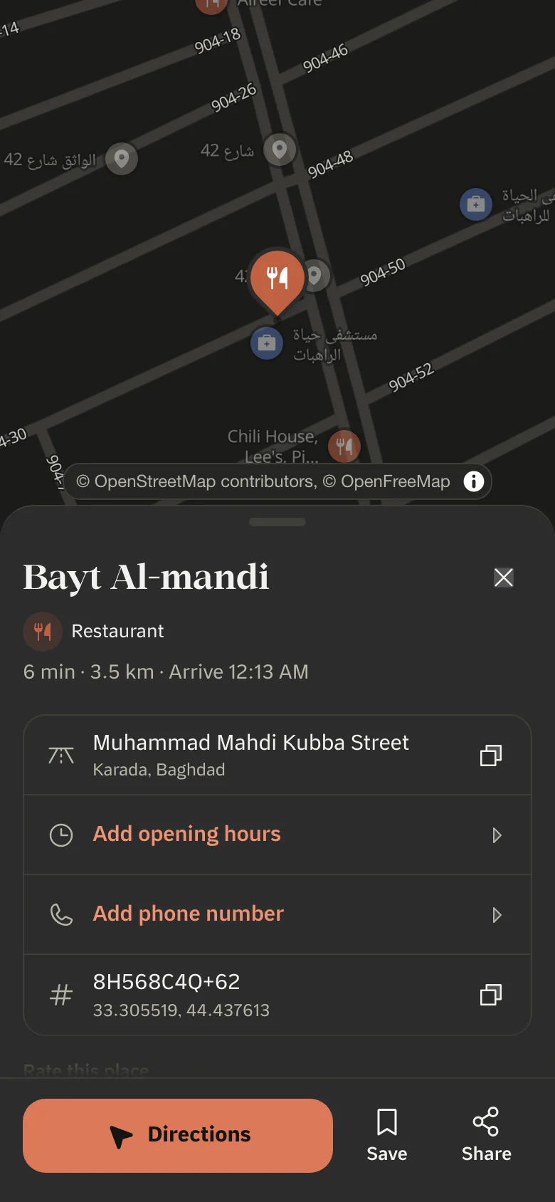
Search by name, and get the written address and plus code of any point.
Routing
From here to there, by car, on foot or by kia.
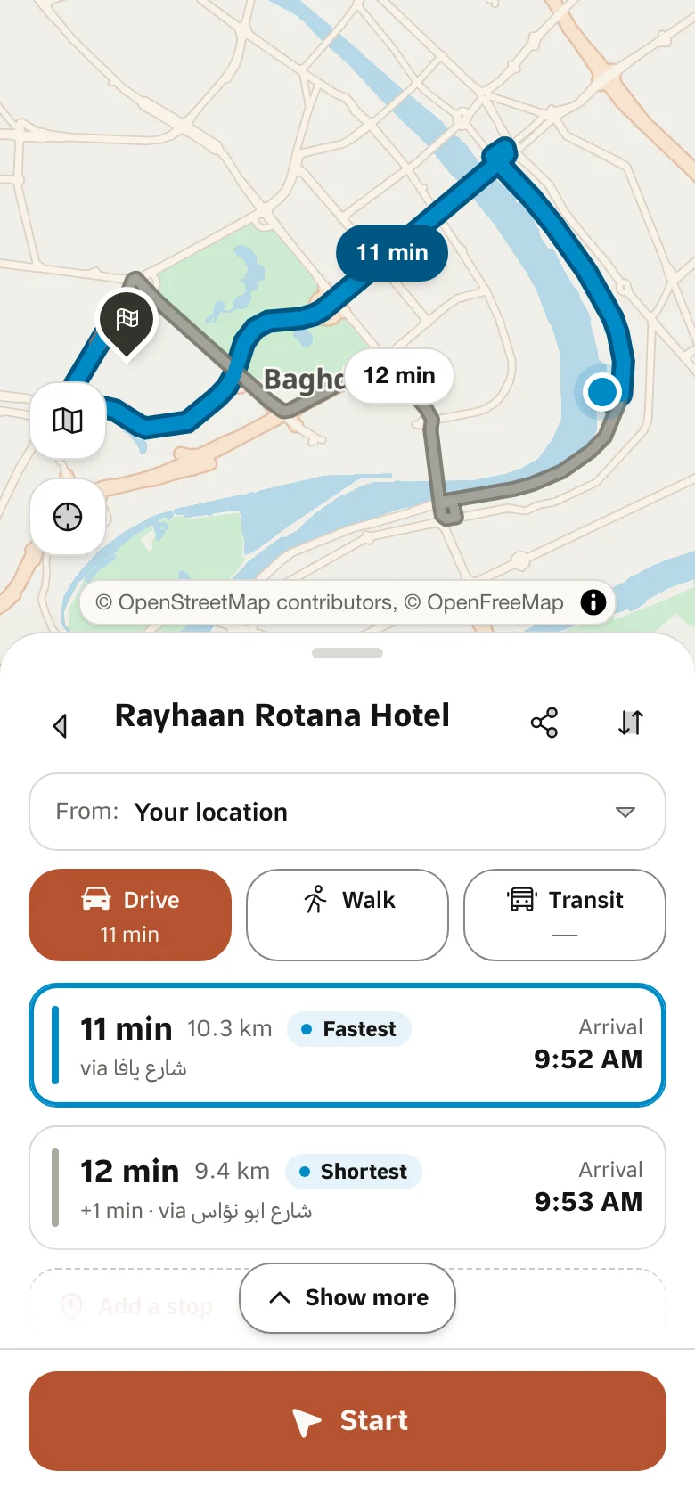
Directions
Directions, travel-time matrices, map matching and stop ordering.
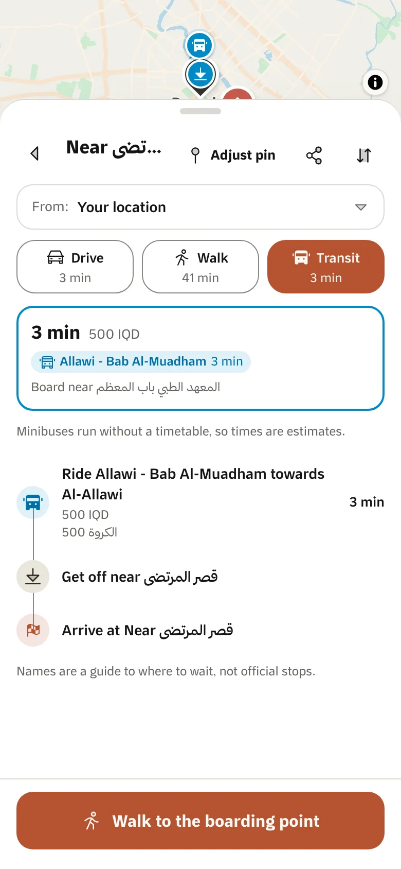
Transit
Baghdad's kia and river-crossing lines, and trip plans with fares.
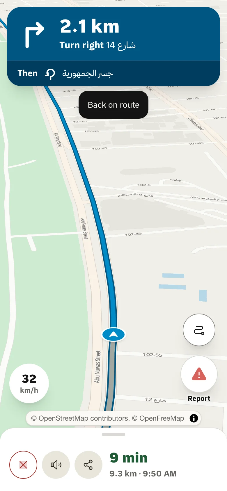
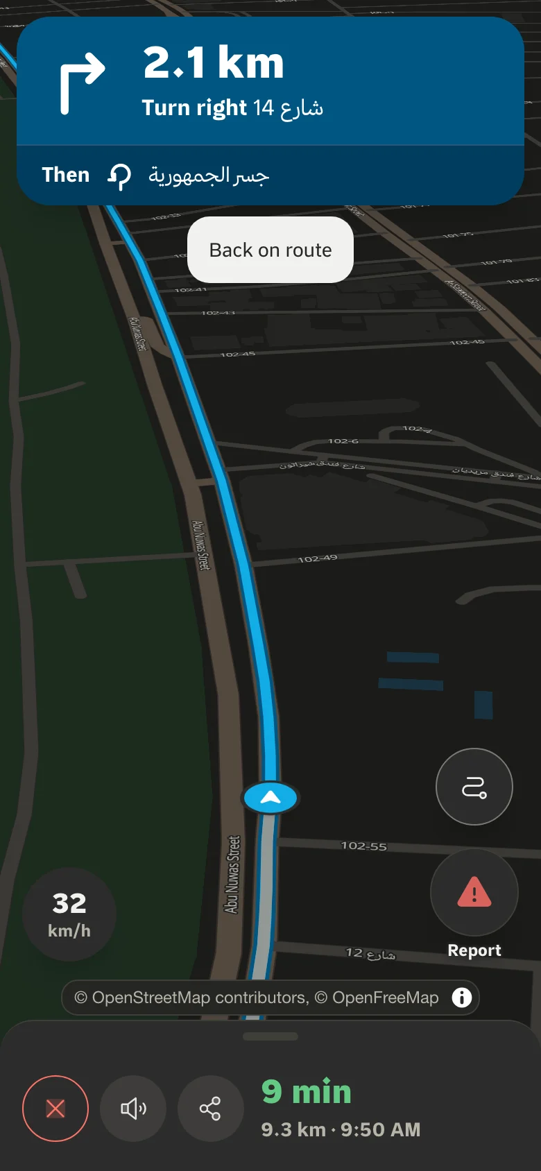
Traffic
Road speeds as a map layer and in arrival times.
Data
Your data on our maps, and your devices’ events on your servers.
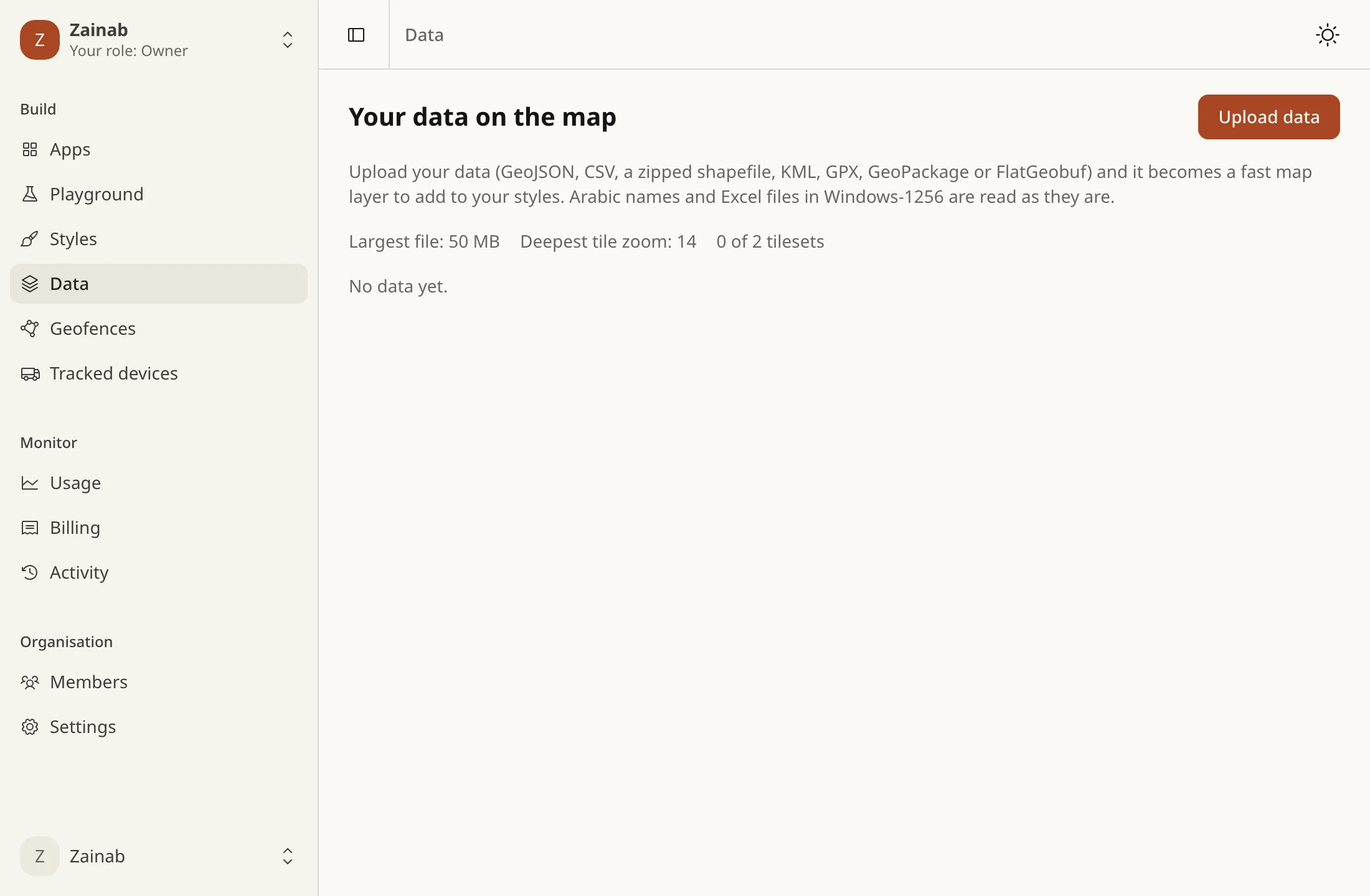
Tilesets
Upload GeoJSON, a shapefile or a GeoTIFF and get tiles your style can draw.
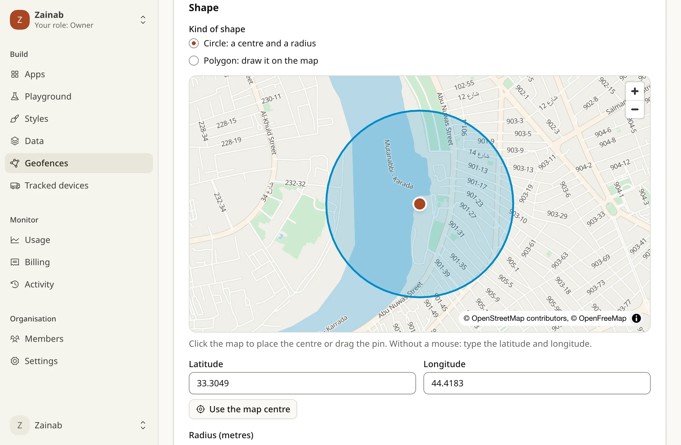
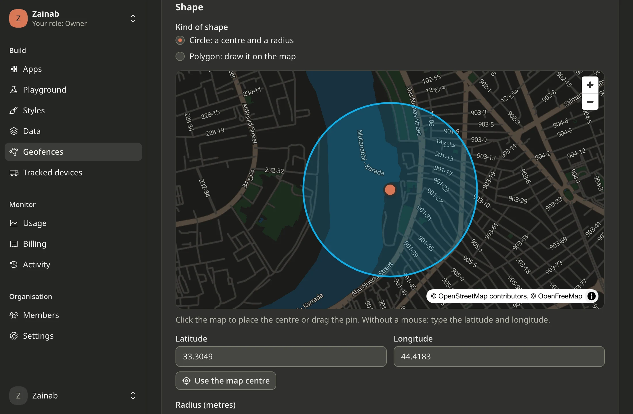
Geofencing
When your devices enter and leave the areas you draw.
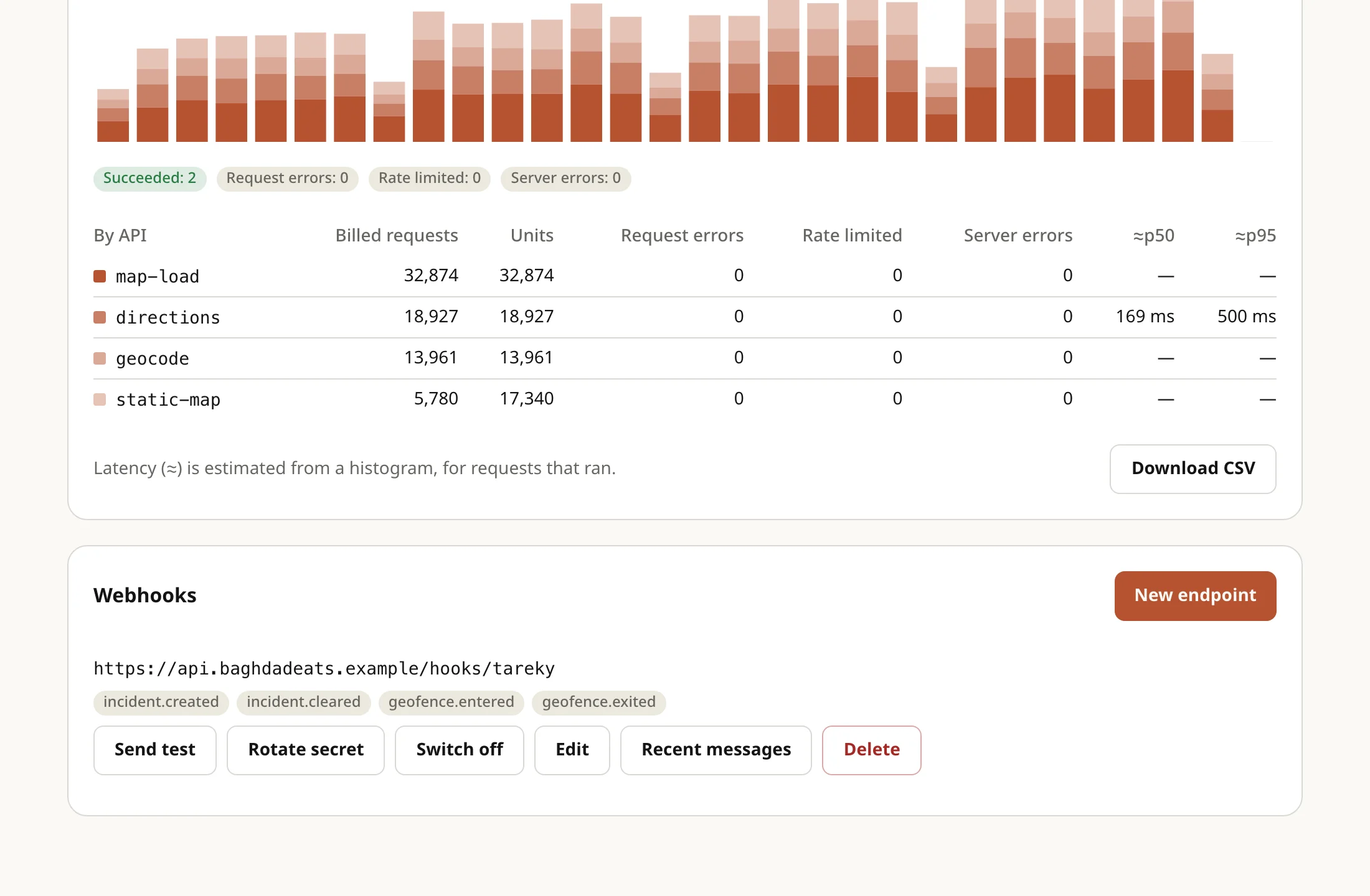
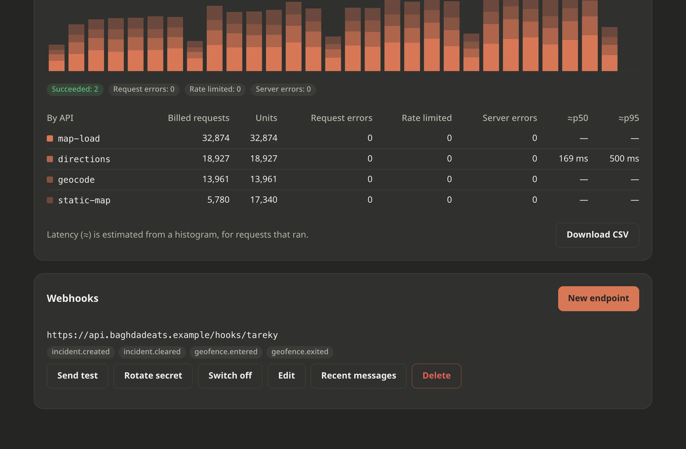
Webhooks
Signed events delivered to your server.
Tools
Everything you need to start.
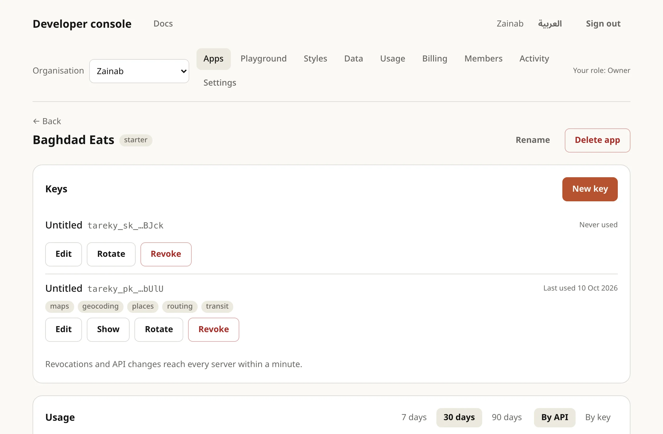
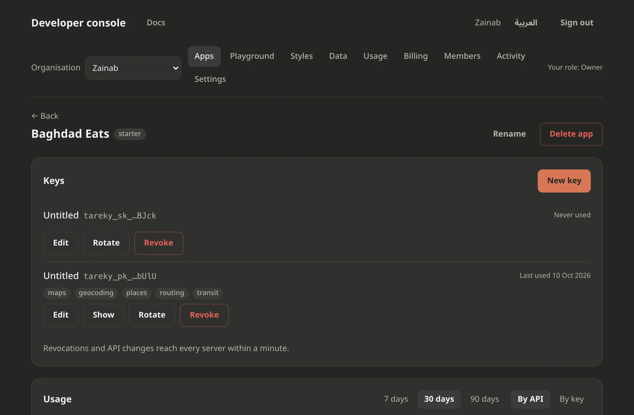
Getting started
A key, a first request, and a map on your page.
SDK
A TypeScript client generated from the API spec.
MCP
Tareky's tools for AI agents.
Account
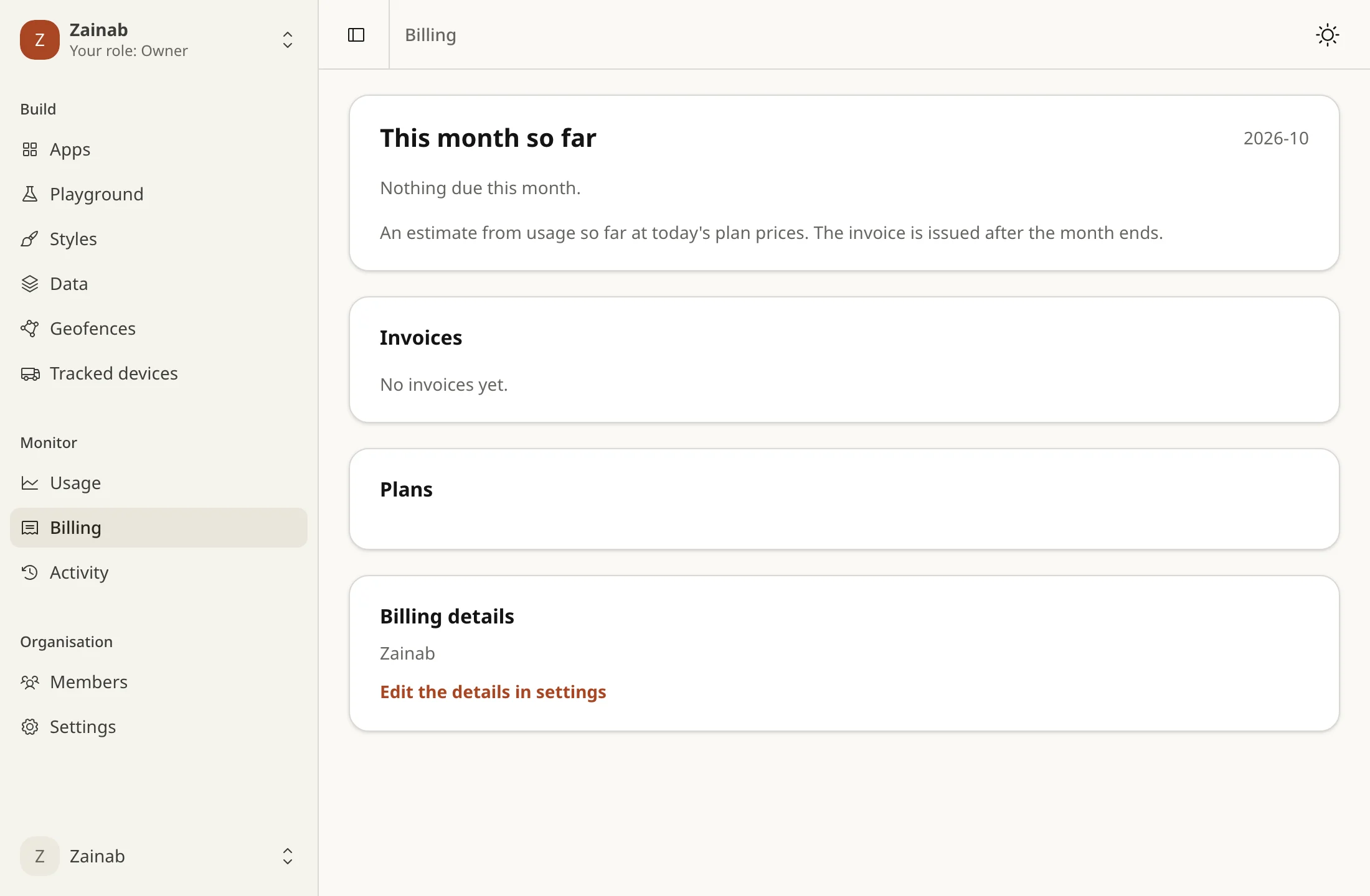
Plans, the changelog, and support.