Maps
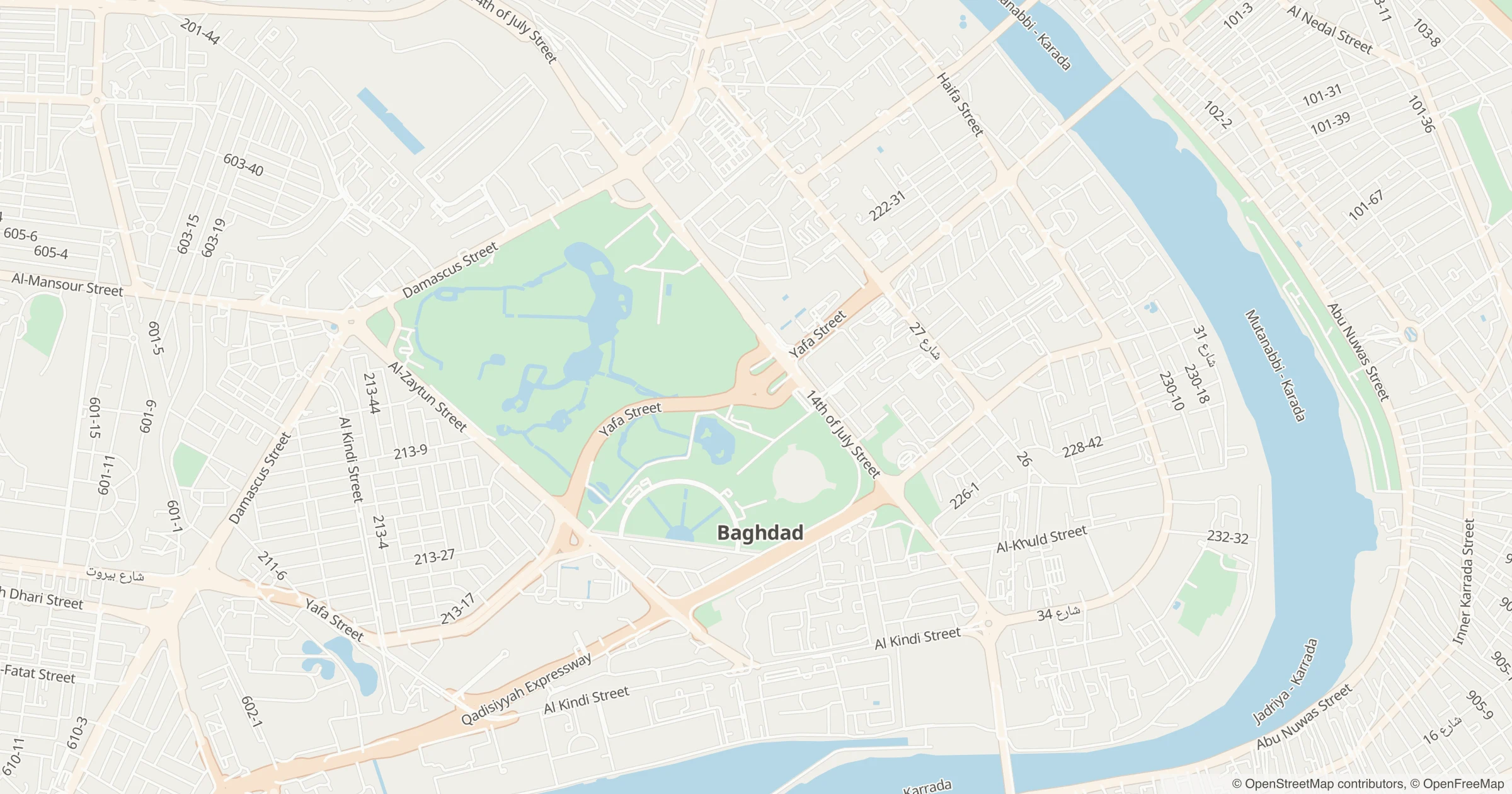
Map styles
Section titled “Map styles”GET /v1/styles/{theme}?lang=ar returns a complete MapLibre style. Themes: light, dark, satellite; languages ar and en.
style: 'https://api.tareky.com/v1/styles/light?lang=ar&access_token=tareky_pk_…'- Loading the style is billed once; its tiles are free.
- Arabic labels need MapLibre GL JS v6 or later. v5 and Mapbox GL JS need
setRTLTextPlugin, as in the quickstart. - Your own colours, labels and layers: custom styles, edited in the Studio.
Attribution
Section titled “Attribution”Every map must show “© OpenMapTiles © OpenStreetMap contributors”, and satellite maps also “Contains modified Copernicus Sentinel data” with the year. The styles carry the attribution and MapLibre shows it for you.
Static maps
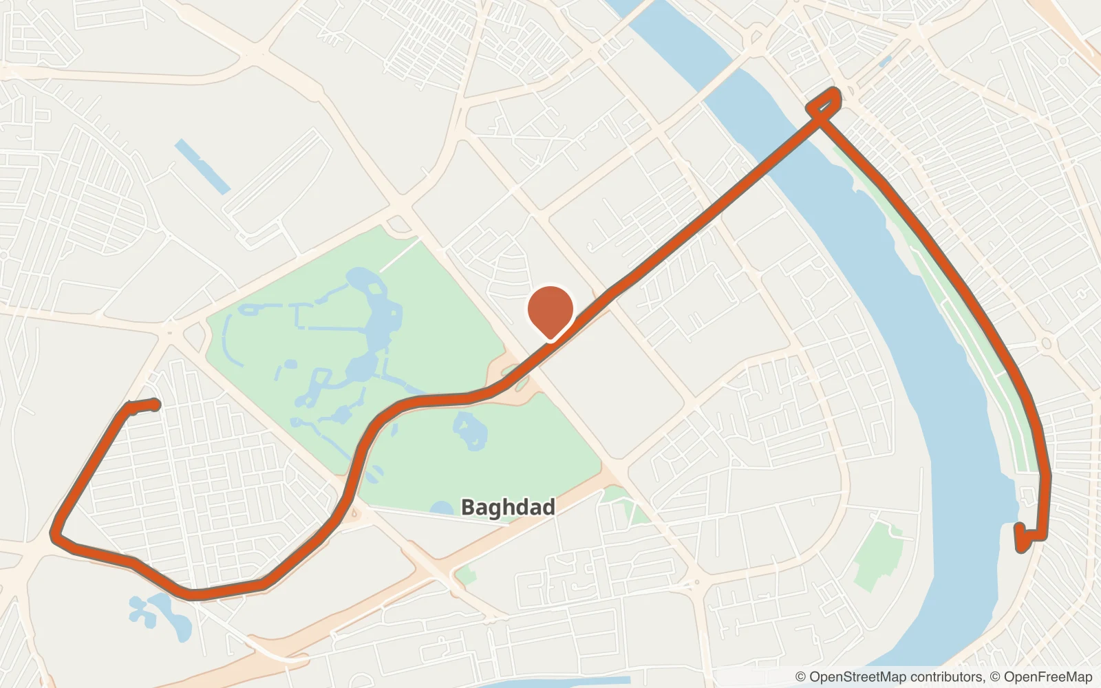
Section titled “Static maps”GET /v1/static-map/{theme}/{lng},{lat},{zoom}/{width}x{height}[@2x][.webp|.png|.jpeg]- Up to 1280×1280; WebP by default.
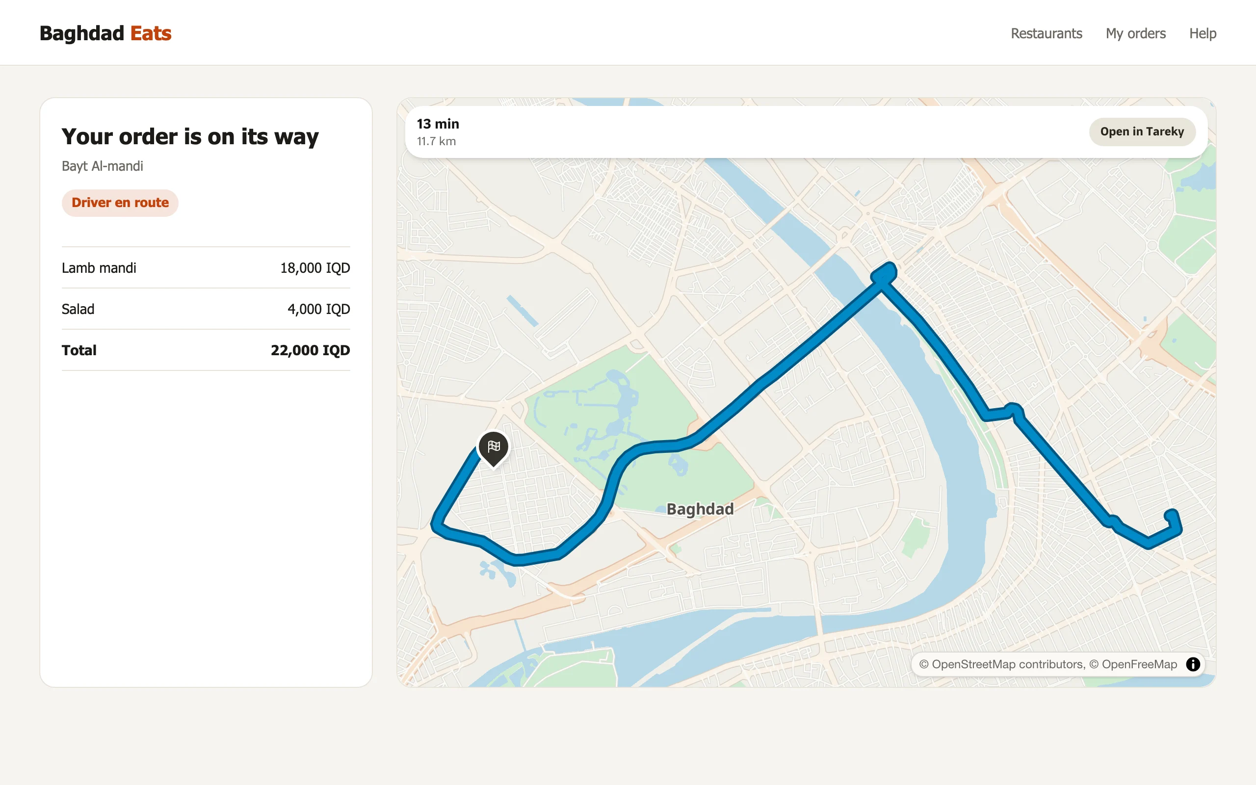
?path=path-{width}+{color}({polyline})draws a route (precision-5 polyline, as/v1/directionsreturns it).- Write
autoinstead of the coordinates to frame the route. - Each image costs 3 units.
Raster tiles
Section titled “Raster tiles”GET /v1/tiles/{theme}/{z}/{x}/{y}[@2x] are standard tiles for Leaflet and OpenLayers. They carry no attribution, so show it yourself.
What’s here
Section titled “What’s here”GET /v1/tilequery/{lng},{lat}?radius=&limit= returns the places nearby and the administrative area the point is in.